Desertification research locations compared with land degradation
Our desertification evidence atlas reads 28,111 peer-reviewed studies on desertification, land degradation and drought end to end, and finds research effort almost entirely uncorrelated with where degradation is worst, while human dimensions and rangelands remain the least-covered parts of the record.

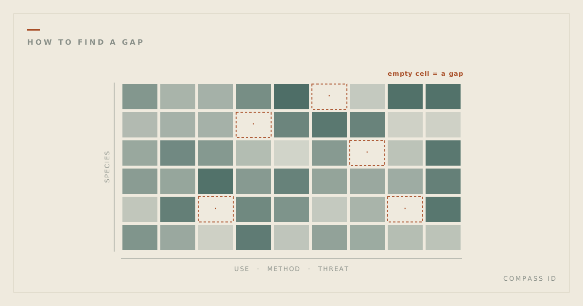
Our desertification evidence atlas reads the indexed literature on desertification, land degradation and drought (DLDD) end to end: 28,111 peer-reviewed studies, tagged across dozens of dimensions and mapped to 176 countries. It finds research effort essentially uncorrelated with degradation burden, and the human and rangeland dimensions the UNCCD centers left thin in the record.
What we found
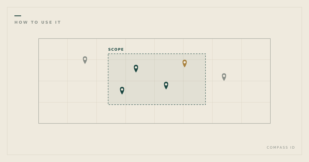
- Research effort tracks researchers, not degradation. Ranking dryland countries by research effort and by degradation burden produces two nearly independent lists (Spearman’s ρ ≈ 0). China alone hosts more geolocated study sites (5,229) than the next six countries combined, while heavily degraded drylands such as Somalia, Eritrea and the Gambia carry few studies each.
- Human dimensions are the thinnest part of the record. Only 27% of studies engage a livelihoods or socioeconomic dimension. Gender, migration and conflict, all central to the Convention’s second strategic objective, each appear in under 2% of the corpus.
- Decline is documented far more than recovery. 81% of studies describe land that is degraded or degrading; 5% document land improving. Even restoration, the most-studied response (29% of the corpus), is evaluated for whether it worked in only 27% of cases.
Why it matters
The UNCCD’s central target, Land Degradation Neutrality (SDG 15.3.1), depends on knowing where degradation is worst and what actually reverses it. A record this skewed means the places carrying the heaviest burden are not necessarily the places generating the evidence to act on it, and the interventions most within the Convention’s own control are the least tested: governance and policy measures are evaluated in under 4% of the studies that invoke them, against roughly one in four for restoration or soil-and-water conservation.
How we built it
COMPASS harvested the deduplicated union of a versioned search over OpenAlex for DLDD phenomena, drivers, processes and responses, then passed every record through a three-model relevance gate (a proposer, a skeptical judge, and an independent auditor) to isolate a clean core of 28,111 on-topic studies. Each study was tagged by a domain-expert panel against a codebook of 46 dimensions shared across domains plus domain-specific extensions, with every tag checked by a second AI model, and geolocated to its study site: where the fieldwork happened, not where its authors are based. Tag accuracy is measured against a 159-paper reference set built by an independent AI model, not a human expert (81% precision, 57% recall), and every blank on the map is labelled “no indexed research,” never “no research.”